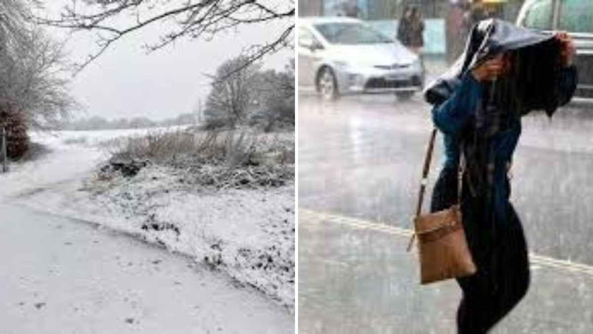
Buckle up, Britain — the weather is about to turn terrifyingly wet. A chilling new weather map has revealed a 600-mile-long rainstorm stretching across the Atlantic, set to slam into the UK with relentless downpours, howling winds, and flash flood potential.
Forecasters have dubbed it a “monster rain band”, with warnings issued across England, Wales, and parts of Scotland, as the storm begins its slow but devastating sweep across the nation.
🌀 Here’s What We Know:
- The horror-style weather radar shows a dark, spiraling mass of moisture covering over 600 miles — from the western Atlantic right into the British Isles.
- The storm is expected to bring torrential rain, thunder, and gale-force winds starting late Wednesday and continuing through the weekend.
- Up to 100mm of rain could fall in the worst-hit areas, triggering flood alerts, travel disruptions, and power outage risks.
🚨 Met Office Issues Warnings:
The Met Office has already placed multiple regions under Yellow and Amber weather alerts, warning of:
- Flash flooding in low-lying areas
- Road and rail chaos during peak hours
- Risk of tree falls, power cuts, and coastal disruption
“This is a large and slow-moving system with the potential to cause widespread disruption,” a senior Met Office meteorologist said. “We urge the public to keep an eye on updates and stay weather-aware.”
📍 Areas in the Storm’s Path:
- South West England
- Wales (especially western coastlines)
- Midlands
- Parts of Northern England
- Southern and Central Scotland by the weekend
🧥 Your Storm Survival Checklist:
- ✅ Secure outdoor furniture and bins
- ✅ Check your travel routes for cancellations
- ✅ Stock up on torches, batteries & essentials
- ✅ Keep wellies, umbrellas, and waterproofs ready — you’ll need them
⚠️ Final Word:
As the 600-mile beast of a storm closes in, residents are urged to stay safe, stay indoors when possible, and avoid unnecessary travel. This isn’t just your average British drizzle — it’s a weather event with bite.